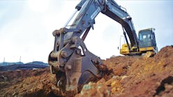
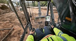
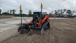
Last Wednesday was GIS Day, a worldwide event celebrating the use of geographic information systems. These systems are integral for many applications in the grading and excavation industries. A past article from our GX Contractor magazine written by Paul Hull explains the significance of GIS technology: “Information before the excavating starts is what makes many jobs easier than others, and more profitable. In just about every aspect of construction, from excavating and grading to the finished structure or repair, the location of the project, and what is to be found at the location, is of vital importance. That’s what a geographic information system (GIS) does. It locates and describes.”
An article from the US Army Corps of Engineers describes an outreach event led by Kaylyn Duda, a scientist from the Norfolk district, and Catherine Galway, a biology student taking part in the Pathways Program. This event involved students interacting with the Mobile Awareness GEOINT Environment (MAGE) application that’s used for collecting and geoprocessing data. The information collected was put together into a web map to demonstrate the results of their findings. The purpose of this event, along with educating the students on geographic information systems technology, was to increase awareness ofSTEM subjects and their importance in today’s workforce.“Science, technology, engineering and math skills interact with MAGE to assist in projects such as Virginia Beach Hurricane and Storm Damage Reduction, as well as identify mosquito blooms on Craney Island—a dredged-material placement site used by the district in Portsmouth, Virginia,” writes Andria Allmond, author of the USACE article. She quotes Kaylyn Duda as saying, “We’d like to help the students better understand the technologies being used around them. This is important for the GIS field, but also for the community as a whole. Demonstrating the importance and impact of geospatial technology could inspire students.”


